 vesseltracker.com
 CLOVIS
Current Status
Where is the vessel?
CLOVIS is currently in 79 nm SW of Gizan, based on AIS data received about 1h ago.
Latest AIS update:
Current position: 16.08425° N, 41.29741° E (79 nm SW of Gizan)
Average speed (last 7 days): Loading…
Average speed (last 30 days): Loading…
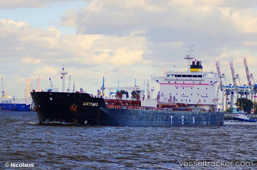
Vessel profile: CLOVIS is a Oil/Chemical Tanker with dimensions m x m.
This page combines live AIS, route history, probable destination signals, nearby traffic, and port activity for practical vessel monitoring.
The current position of vessel CLOVIS is 16.08425 lat / 41.29741 lng. Updated: 2026-04-08 15:57:53 UTCNearest reference points:
- 81 nm NW of As Salif
- 92 nm SW of Al Qahmah
- Near Jazan Economic City
Currently sailing under the flag of Barbados ![]()
Details:
Live Vessel CLOVIS Analytics (details, animations, etc.)
Recent AIS points (UTC):
2026-04-08 11:52:33 UTC · 15.33126, 41.74275 · SOG 12.6 kn · COG 333°2026-04-08 13:45:03 UTC · 15.67314, 41.54449 · SOG 12.7 kn · COG 336°
2026-04-08 13:45:03 UTC · 15.67314, 41.54449 · SOG 12.7 kn · COG 336°
2026-04-08 15:57:53 UTC · 16.08425, 41.29741 · SOG 13.1 kn · COG 324°