 vesseltracker.com
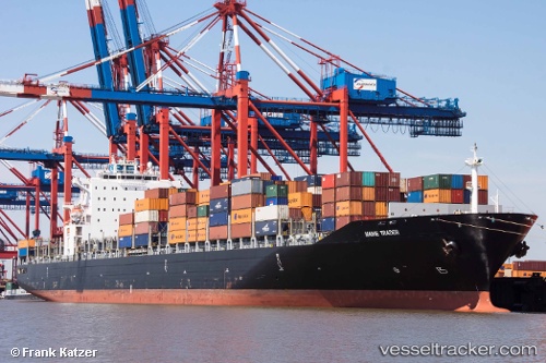
 TAVA 4
Current Status
Where is the vessel?
TAVA 4 is currently in Near HOSAN, based on AIS data received about 1d ago.
Latest AIS update:
Current position: 37.19489° N, 129.52580° E (Near HOSAN)
Average speed (last 7 days): Loading…
Average speed (last 30 days): Loading…
Vessel profile: TAVA 4 is a Container Ship with dimensions m x m.
This page combines live AIS, route history, probable destination signals, nearby traffic, and port activity for practical vessel monitoring.
The current position of vessel TAVA 4 is 37.19489 lat / 129.52580 lng. Updated: 2026-04-10 06:34:46 UTCNearest reference points:
- 16 nm N of Yeongyang-gun
- Near DONGHAE
- 23 nm SE of Yeongyang-gun
Currently sailing under the flag of Comoros ![]()
Details:
Live Vessel TAVA 4 Analytics (details, animations, etc.)
Recent AIS points (UTC):
2026-04-10 01:49:21 UTC · 37.72472, 129.19174 · SOG 7.5 kn · COG -1°2026-04-10 03:49:31 UTC · 37.48025, 129.33000 · SOG 8 kn · COG -1°
2026-04-10 05:24:40 UTC · 37.29736, 129.44305 · SOG 7.1 kn · COG -1°
2026-04-10 06:34:46 UTC · 37.19489, 129.52580 · SOG 6 kn · COG -1°