 vesseltracker.com
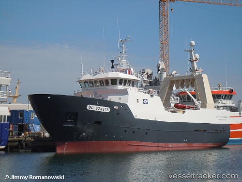
 Cap Saint Georges
Current Status
Where is the vessel?
Cap Saint Georges is currently in Near Hausvikstrand, based on AIS data received less than 1h ago.
Latest AIS update:
Current position: 57.91749° N, 6.83965° E (Near Hausvikstrand)
Average speed (last 7 days): Loading…
Average speed (last 30 days): Loading…
Vessel profile: Cap Saint Georges is a Fishing Vessel with dimensions 44m x 10m.
This page combines live AIS, route history, probable destination signals, nearby traffic, and port activity for practical vessel monitoring.
The current position of vessel Cap Saint Georges is 57.91749 lat / 6.83965 lng. Updated: 2026-03-31 09:59:45 UTCNearest reference points:
- Near Kirkehamn
- Near Åna-Sira
- Near Egersund
Currently sailing under the flag of France ![]()
Details:
Live Vessel Cap Saint Georges Analytics (details, animations, etc.)
Recent AIS points (UTC):
2026-03-31 03:26:41 UTC · 58.76302, 5.12372 · SOG 10.8 kn · COG 134°2026-03-31 06:17:25 UTC · 58.35688, 5.78234 · SOG 11.8 kn · COG 119°
2026-03-31 07:26:54 UTC · 58.21287, 6.11512 · SOG 11.8 kn · COG 122°
2026-03-31 09:59:45 UTC · 57.91749, 6.83965 · SOG 11.2 kn · COG 124°