 vesseltracker.com
 OCEAN START
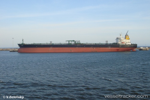
Current Status
Where is the vessel?
OCEAN START is currently in 14 nm N of Muara, based on AIS data received about 1h ago.
Latest AIS update:
Current position: 5.23927° N, 114.97888° E (14 nm N of Muara)
Average speed (last 7 days): Loading…
Average speed (last 30 days): Loading…
Vessel profile: OCEAN START is a Crude Oil Tanker with dimensions m x m.
This page combines live AIS, route history, probable destination signals, nearby traffic, and port activity for practical vessel monitoring.
The current position of vessel OCEAN START is 5.23927 lat / 114.97888 lng. Updated: 2026-04-03 02:08:41 UTCNearest reference points:
- Near Kikeh
- 44 nm SW of Tembungo
- 11 nm N of MIRI
Currently sailing under the flag of Bahamas ![]()
Details:
Live Vessel OCEAN START Analytics (details, animations, etc.)
Recent AIS points (UTC):
2026-04-02 19:37:33 UTC · 5.08848, 115.13438 · SOG 0 kn · COG 183°2026-04-02 21:52:29 UTC · 5.08802, 115.13580 · SOG 0 kn · COG 214°
2026-04-02 23:58:34 UTC · 5.08692, 115.13670 · SOG 0 kn · COG 245°
2026-04-03 02:08:41 UTC · 5.23927, 114.97888 · SOG 13.7 kn · COG 317°