 vesseltracker.com
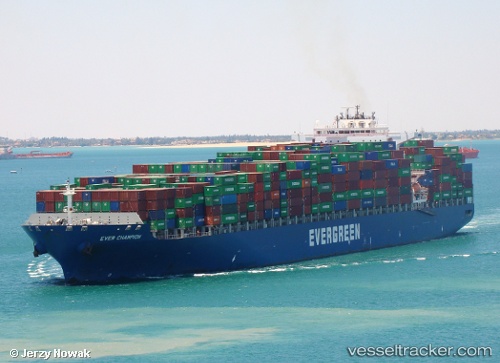
 KOTA SANTOS
Current Status
Where is the vessel?
KOTA SANTOS is currently in 104 nm SW of Nayarit, based on AIS data received about 1h ago.
Latest AIS update:
Current position: 20.87479° N, 108.20143° W (104 nm SW of Nayarit)
Average speed (last 7 days): Loading…
Average speed (last 30 days): Loading…
Vessel profile: KOTA SANTOS is a Container Ship with dimensions 42m x 334m.
This page combines live AIS, route history, probable destination signals, nearby traffic, and port activity for practical vessel monitoring.
The current position of vessel KOTA SANTOS is 20.87479 lat / -108.20143 lng. Updated: 2026-04-07 16:15:50 UTCNearest reference points:
- 35 nm S of Nayarit
- 67 nm S of Los Cabos
- Near San Jose del Cabo
Currently sailing under the flag of Liberia ![]()
KOTA SANTOS built in 2005 year
Deadweight:
106912 tDetails:
Live Vessel KOTA SANTOS Analytics (details, animations, etc.)
Recent AIS points (UTC):
2026-04-07 10:10:55 UTC · 21.62303, -109.57555 · SOG 14.8 kn · COG 118°2026-04-07 11:56:43 UTC · 21.41172, -109.17500 · SOG 14.4 kn · COG 122°
2026-04-07 13:42:26 UTC · 21.18942, -108.78585 · SOG 14.4 kn · COG 120°
2026-04-07 16:15:50 UTC · 20.87479, -108.20143 · SOG 14.8 kn · COG 121°