 vesseltracker.com
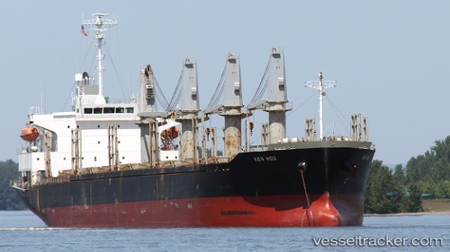
 MOONLIT
Current Status
Where is the vessel?
MOONLIT is currently in Near Al Adabiyah, based on AIS data received about 1d ago.
Latest AIS update:
Current position: 29.75073° N, 32.57524° E (Near Al Adabiyah)
Average speed (last 7 days): Loading…
Average speed (last 30 days): Loading…
Vessel profile: MOONLIT is a Bulk Carrier with dimensions m x m.
This page combines live AIS, route history, probable destination signals, nearby traffic, and port activity for practical vessel monitoring.
The current position of vessel MOONLIT is 29.75073 lat / 32.57524 lng. Updated: 2026-04-10 07:10:50 UTCNearest reference points:
- Near Ras Sudr
- Near Al Adabiyah
- Near Bur Ibrahim
Currently sailing under the flag of Saint Vincent and the Grenadines ![]()
Details:
Live Vessel MOONLIT Analytics (details, animations, etc.)
Recent AIS points (UTC):
2026-04-10 02:07:50 UTC · 29.74809, 32.57410 · SOG 0 kn · COG 6°2026-04-10 04:01:50 UTC · 29.75052, 32.57535 · SOG 0 kn · COG 220°
2026-04-10 05:31:50 UTC · 29.74919, 32.57581 · SOG 0 kn · COG 286°
2026-04-10 07:10:50 UTC · 29.75073, 32.57524 · SOG 0 kn · COG 211°