 vesseltracker.com
 SANTA VIOLA
Current Status
Where is the vessel?
SANTA VIOLA is currently in Near Chermside, based on AIS data received about 1h ago.
Latest AIS update:
Current position: 27.37001° S, 153.17183° E (Near Chermside)
Average speed (last 7 days): Loading…
Average speed (last 30 days): Loading…
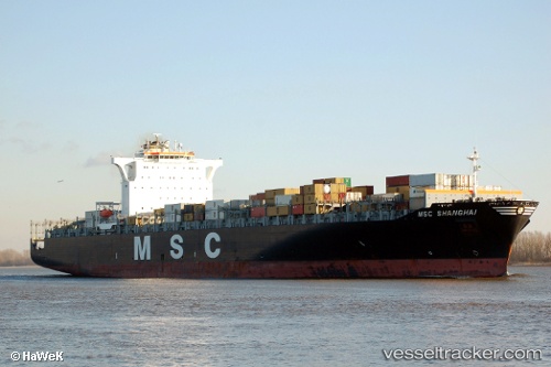
Vessel profile: SANTA VIOLA is a Container Ship with dimensions m x m.
This page combines live AIS, route history, probable destination signals, nearby traffic, and port activity for practical vessel monitoring.
The current position of vessel SANTA VIOLA is -27.37001 lat / 153.17183 lng. Updated: 2026-03-27 11:31:51 UTCNearest reference points:
- Near Wynnum West
- Near Hemmant
- Near Eagle Farm
Currently sailing under the flag of Malta ![]()
Details:
Live Vessel SANTA VIOLA Analytics (details, animations, etc.)
Recent AIS points (UTC):
2026-03-27 05:55:55 UTC · -27.37002, 153.17183 · SOG 0 kn · COG 211°2026-03-27 08:01:47 UTC · -27.36999, 153.17184 · SOG 0 kn · COG 212°
2026-03-27 09:58:51 UTC · -27.36999, 153.17181 · SOG 0 kn · COG 212°
2026-03-27 11:31:51 UTC · -27.37001, 153.17183 · SOG 0 kn · COG 212°