 vesseltracker.com
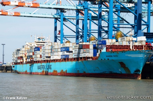
 Maersk Ohio
Current Status
Where is the vessel?
Maersk Ohio is currently in 46 nm NE of MALAHAYATI, based on AIS data received about 1h ago.
Latest AIS update:
Current position: 5.98333° N, 96.18833° E (46 nm NE of MALAHAYATI)
Average speed (last 7 days): Loading…
Average speed (last 30 days): Loading…
Vessel profile: Maersk Ohio is a Container Ship with dimensions 292m x 292m.
This page combines live AIS, route history, probable destination signals, nearby traffic, and port activity for practical vessel monitoring.
The current position of vessel Maersk Ohio is 5.98333 lat / 96.18833 lng. Updated: 2026-03-29 09:28:31 UTCNearest reference points:
- 21 nm N of Sebang
- 53 nm NE of Sebang
- 28 nm NW of Sebang
Currently sailing under the flag of USA ![]()
Maersk Ohio built in 2006 year
Deadweight:
61454 tDetails:
Live Vessel Maersk Ohio Analytics (details, animations, etc.)
Recent AIS points (UTC):
2026-03-29 03:18:23 UTC · 6.31833, 94.79833 · SOG 13 kn · COG -1°2026-03-29 05:42:22 UTC · 6.26376, 95.34627 · SOG 14 kn · COG 106°
2026-03-29 08:01:15 UTC · 6.08816, 95.86351 · SOG 14 kn · COG 108°
2026-03-29 09:28:31 UTC · 5.98333, 96.18833 · SOG 14 kn · COG -1°