 vesseltracker.com
 FRIEND
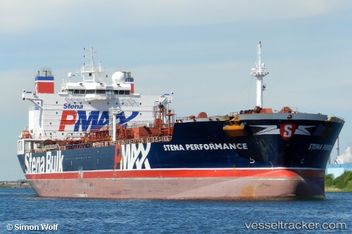
Current Status
Where is the vessel?
FRIEND is currently in 97 nm W of Laoag, Luzon, based on AIS data received less than 1h ago.
Latest AIS update:
Current position: 18.60167° N, 118.93833° E (97 nm W of Laoag, Luzon)
Average speed (last 7 days): Loading…
Average speed (last 30 days): Loading…
Vessel profile: FRIEND is a Chemical Oil Products Tanker with dimensions 40m x 183m.
This page combines live AIS, route history, probable destination signals, nearby traffic, and port activity for practical vessel monitoring.
The current position of vessel FRIEND is 18.60167 lat / 118.93833 lng. Updated: 2026-04-06 01:20:42 UTCNearest reference points:
- 22 nm W of Salomague
- 138 nm NW of Bolinao
- 132 nm SW of Kaohsiung
Currently sailing under the flag of Antigua Barbuda ![]()
FRIEND built in 0 year
Deadweight:
0 tDetails:
Live Vessel FRIEND Analytics (details, animations, etc.)
Recent AIS points (UTC):
2026-04-05 17:17:35 UTC · 18.57108, 118.85959 · SOG 0.6 kn · COG 104°2026-04-05 21:37:29 UTC · 18.59500, 118.88667 · SOG 0 kn · COG -1°
2026-04-05 23:35:06 UTC · 18.60167, 118.91333 · SOG 0 kn · COG -1°
2026-04-06 01:20:42 UTC · 18.60167, 118.93833 · SOG 0 kn · COG -1°