 vesseltracker.com
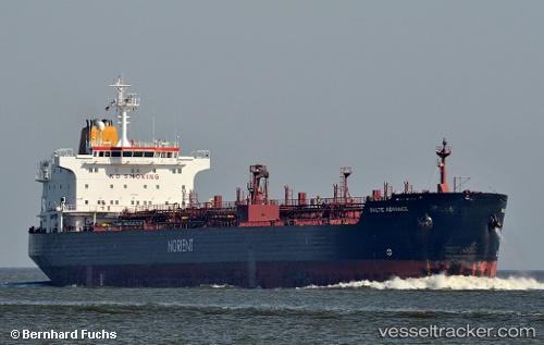
 TENDUA
Current Status
Where is the vessel?
TENDUA is currently in Near Borj Cedria, based on AIS data received about 1h ago.
Latest AIS update:
Current position: 36.80744° N, 10.46591° E (Near Borj Cedria)
Average speed (last 7 days): Loading…
Average speed (last 30 days): Loading…
Vessel profile: TENDUA is a Oil/Chemical Tanker with dimensions m x m.
This page combines live AIS, route history, probable destination signals, nearby traffic, and port activity for practical vessel monitoring.
The current position of vessel TENDUA is 36.80744 lat / 10.46591 lng. Updated: 2026-04-03 11:43:25 UTCNearest reference points:
- Near Le Kram
- 13 nm N of Qulaybiyah
- 32 nm N of Qulaybiyah
Currently sailing under the flag of Sierra Leone ![]()
Details:
Live Vessel TENDUA Analytics (details, animations, etc.)
Recent AIS points (UTC):
2026-04-03 05:39:55 UTC · 36.80745, 10.46577 · SOG 0.1 kn · COG -1°2026-04-03 07:49:06 UTC · 36.80757, 10.46592 · SOG 0.3 kn · COG -1°
2026-04-03 09:40:45 UTC · 36.80742, 10.46580 · SOG 0.1 kn · COG 321°
2026-04-03 11:43:25 UTC · 36.80744, 10.46591 · SOG 0.1 kn · COG 320°