 vesseltracker.com
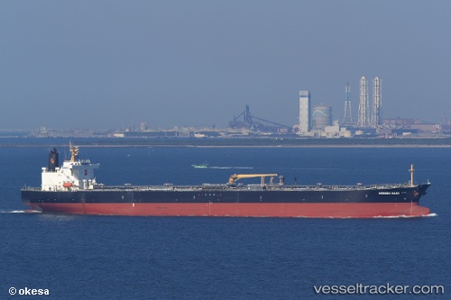
 AMARIN INDAH
Current Status
Where is the vessel?
AMARIN INDAH is currently in 18 nm W of HANSTHOLM, based on AIS data received less than 1h ago.
Latest AIS update:
Current position: 57.13921° N, 8.03706° E (18 nm W of HANSTHOLM)
Average speed (last 7 days): Loading…
Average speed (last 30 days): Loading…
Vessel profile: AMARIN INDAH is a Crude Oil Tanker with dimensions m x m.
This page combines live AIS, route history, probable destination signals, nearby traffic, and port activity for practical vessel monitoring.
The current position of vessel AMARIN INDAH is 57.13921 lat / 8.03706 lng. Updated: 2026-04-10 00:19:13 UTCNearest reference points:
- Near Thyborøn
- Near HANSTHOLM
- Near Kleppen
Currently sailing under the flag of Panama ![]()
Details:
Live Vessel AMARIN INDAH Analytics (details, animations, etc.)
Recent AIS points (UTC):
2026-04-09 17:36:26 UTC · 56.03842, 6.81575 · SOG 11.2 kn · COG 46°2026-04-09 20:05:15 UTC · 56.40890, 7.33017 · SOG 12.1 kn · COG 23°
2026-04-09 22:01:14 UTC · 56.76888, 7.59313 · SOG 12.1 kn · COG 20°
2026-04-10 00:19:13 UTC · 57.13921, 8.03706 · SOG 11.8 kn · COG 37°