 vesseltracker.com
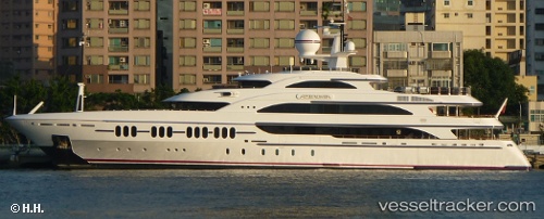
 Ambrosia
Current Status
Where is the vessel?
Ambrosia is currently in Near Akcansa, based on AIS data received less than 1h ago.
Latest AIS update:
Current position: 40.02583° N, 26.24130° E (Near Akcansa)
Average speed (last 7 days): Loading…
Average speed (last 30 days): Loading…
Vessel profile: Ambrosia is a Crude Oil Tanker with dimensions 239m x 239m.
This page combines live AIS, route history, probable destination signals, nearby traffic, and port activity for practical vessel monitoring.
The current position of vessel Ambrosia is 40.02583 lat / 26.24130 lng. Updated: 2026-04-15 06:00:46 UTCNearest reference points:
- 10 nm W of Akcansa
- Near Bozcaada
- Near Akcansa
Currently sailing under the flag of Bahamas ![]()
Ambrosia built in 2006 year
Deadweight:
105363 tDetails:
Live Vessel Ambrosia Analytics (details, animations, etc.)
Recent AIS points (UTC):
2026-04-14 22:13:37 UTC · 39.87325, 25.93710 · SOG 0 kn · COG -1°2026-04-14 23:38:44 UTC · 39.87317, 25.93700 · SOG 0 kn · COG -1°
2026-04-15 04:23:37 UTC · 39.97650, 26.02635 · SOG 4.2 kn · COG 75°
2026-04-15 06:00:46 UTC · 40.02583, 26.24130 · SOG 10.4 kn · COG 70°