 vesseltracker.com
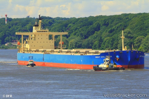
 ASL EARTH
Current Status
Where is the vessel?
ASL EARTH is currently in 40 nm NE of Estombar, based on AIS data received about 1h ago.
Latest AIS update:
Current position: 37.72464° N, 8.92259° E (40 nm NE of Estombar)
Average speed (last 7 days): Loading…
Average speed (last 30 days): Loading…
Vessel profile: ASL EARTH is a Bulk Carrier with dimensions 289m x 45m.
This page combines live AIS, route history, probable destination signals, nearby traffic, and port activity for practical vessel monitoring.
The current position of vessel ASL EARTH is 37.72464 lat / 8.92259 lng. Updated: 2026-04-08 19:23:37 UTCNearest reference points:
- 35 nm S of Setubal
- 33 nm SE of Setubal
- Near SARROCH
Currently sailing under the flag of Liberia ![]()
ASL EARTH built in 2005 year
Deadweight:
176279 tDetails:
Live Vessel ASL EARTH Analytics (details, animations, etc.)
Recent AIS points (UTC):
2026-04-08 13:59:49 UTC · 37.64695, 10.14239 · SOG 10.4 kn · COG 271°2026-04-08 16:14:19 UTC · 37.67273, 9.63768 · SOG 10.8 kn · COG 277°
2026-04-08 17:41:38 UTC · 37.70065, 9.30124 · SOG 11 kn · COG 275°
2026-04-08 19:23:37 UTC · 37.72464, 8.92259 · SOG 9.8 kn · COG 272°