 vesseltracker.com
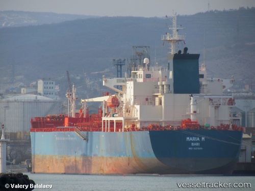
 KALYMNOS DAWN
Current Status
Where is the vessel?
KALYMNOS DAWN is currently in 10 nm N of Tubruq, based on AIS data received less than 1h ago.
Latest AIS update:
Current position: 32.24437° N, 24.03847° E (10 nm N of Tubruq)
Average speed (last 7 days): Loading…
Average speed (last 30 days): Loading…
Vessel profile: KALYMNOS DAWN is a Oil/Chemical Tanker with dimensions m x m.
This page combines live AIS, route history, probable destination signals, nearby traffic, and port activity for practical vessel monitoring.
The current position of vessel KALYMNOS DAWN is 32.24437 lat / 24.03847 lng. Updated: 2026-03-31 11:01:40 UTCNearest reference points:
- 67 nm S of Kali Limenes
- 85 nm W of Paleochora
Currently sailing under the flag of Marshall Islands ![]()
Details:
Live Vessel KALYMNOS DAWN Analytics (details, animations, etc.)
Recent AIS points (UTC):
2026-03-26 08:47:43 UTC · 32.06298, 23.99791 · SOG 1.6 kn · COG 290°2026-03-26 08:47:43 UTC · 32.06298, 23.99791 · SOG 1.6 kn · COG 290°
2026-03-31 09:52:51 UTC · 32.06317, 24.02841 · SOG 9.7 kn · COG 75°
2026-03-31 11:01:40 UTC · 32.24437, 24.03847 · SOG 10.6 kn · COG 351°