 vesseltracker.com
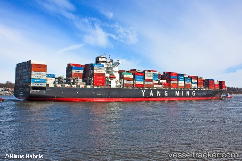
 WESTPORT
Current Status
Where is the vessel?
WESTPORT is currently in Near Docklands, based on AIS data received less than 1h ago.
Latest AIS update:
Current position: 37.81083° S, 144.91466° E (Near Docklands)
Average speed (last 7 days): Loading…
Average speed (last 30 days): Loading…
Vessel profile: WESTPORT is a Container Ship with dimensions m x m.
This page combines live AIS, route history, probable destination signals, nearby traffic, and port activity for practical vessel monitoring.
The current position of vessel WESTPORT is -37.81083 lat / 144.91466 lng. Updated: 2026-04-08 03:41:38 UTCNearest reference points:
- Near Spotswood
- Near Drysdale
- Near QUEENSCLIFF
Currently sailing under the flag of Liberia ![]()
Details:
Live Vessel WESTPORT Analytics (details, animations, etc.)
Recent AIS points (UTC):
2026-04-07 21:32:47 UTC · -37.81085, 144.91466 · SOG 0 kn · COG 182°2026-04-08 00:11:40 UTC · -37.81086, 144.91467 · SOG 0 kn · COG 182°
2026-04-08 01:47:41 UTC · -37.81083, 144.91464 · SOG 0 kn · COG 182°
2026-04-08 03:41:38 UTC · -37.81083, 144.91466 · SOG 0 kn · COG 182°