 vesseltracker.com
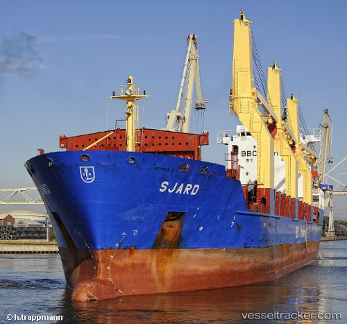
 Sjard
Sjard
Current Status
Where is the vessel?
Sjard is currently in 17 nm NW of Thorntonbank, based on AIS data received less than 1h ago.
Latest AIS update:
Current position: 51.88487° N, 2.68123° E (17 nm NW of Thorntonbank)
Average speed (last 7 days): Loading…
Average speed (last 30 days): Loading…
Vessel profile: Sjard is a Multi Purpose Carrier with dimensions 143m x 143m.
This page combines live AIS, route history, probable destination signals, nearby traffic, and port activity for practical vessel monitoring.
The current position of vessel Sjard is 51.88487 lat / 2.68123 lng. Updated: 2026-03-30 23:55:06 UTCNearest reference points:
- 21 nm S of Craven Arms
- Near Thorntonbank
- 13 nm NW of Middelkerke
Currently sailing under the flag of Antigua Barbuda ![]()
Sjard built in 2007 year
Deadweight:
17305 tDetails:
Live Vessel Sjard Analytics (details, animations, etc.)
Recent AIS points (UTC):
2026-03-30 18:04:20 UTC · 51.95592, 1.30532 · SOG 0 kn · COG 127°2026-03-30 20:03:42 UTC · 51.93133, 1.41023 · SOG 9.1 kn · COG 86°
2026-03-30 21:59:40 UTC · 51.82848, 1.94991 · SOG 13.7 kn · COG 66°
2026-03-30 23:55:06 UTC · 51.88487, 2.68123 · SOG 15.1 kn · COG 83°