 vesseltracker.com
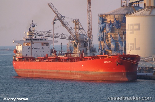
Bantry
Current StatusWhere is the vessel?
Bantry is currently in Near Bunbury, based on AIS data received about 1h ago.
Latest AIS update:
Current position: 33.26088° S, 115.56443° E (Near Bunbury)
Average speed (last 7 days): Loading…
Average speed (last 30 days): Loading…
Vessel profile: Bantry is a Bulk Oil Carrier with dimensions 33m x 225m.
This page combines live AIS, route history, probable destination signals, nearby traffic, and port activity for practical vessel monitoring.
The current position of vessel Bantry is -33.26088 lat / 115.56443 lng. Updated: 2026-04-01 05:54:03 UTCNearest reference points:
- Near Bunbury
- Near Kwinana
- Near Fremantle
Details:
Live Vessel Bantry Analytics (details, animations, etc.)
Recent AIS points (UTC):
2026-03-31 23:21:13 UTC · -33.26178, 115.56420 · SOG 0 kn · COG 295°2026-04-01 02:24:02 UTC · -33.26190, 115.56420 · SOG 0 kn · COG 298°
2026-04-01 03:33:05 UTC · -33.26132, 115.56448 · SOG 0 kn · COG 276°
2026-04-01 05:54:03 UTC · -33.26088, 115.56443 · SOG 0 kn · COG 263°