 vesseltracker.com
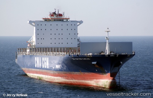
 STRATFORD
Current Status
Where is the vessel?
STRATFORD is currently in 36 nm SE of Nagercoil, based on AIS data received less than 1h ago.
Latest AIS update:
Current position: 7.62701° N, 77.69324° E (36 nm SE of Nagercoil)
Average speed (last 7 days): Loading…
Average speed (last 30 days): Loading…
Vessel profile: STRATFORD is a Container Ship with dimensions m x m.
This page combines live AIS, route history, probable destination signals, nearby traffic, and port activity for practical vessel monitoring.
The current position of vessel STRATFORD is 7.62701 lat / 77.69324 lng. Updated: 2026-03-29 21:22:16 UTCNearest reference points:
- 41 nm S of Nagercoil
- 98 nm S of Nagercoil
- 91 nm S of Nagercoil
Currently sailing under the flag of Liberia ![]()
Details:
Live Vessel STRATFORD Analytics (details, animations, etc.)
Recent AIS points (UTC):
2026-03-29 15:46:27 UTC · 7.27020, 78.79537 · SOG 12.2 kn · COG 284°2026-03-29 17:50:15 UTC · 7.36493, 78.37591 · SOG 12.5 kn · COG 284°
2026-03-29 20:19:55 UTC · 7.51361, 77.87158 · SOG 12.3 kn · COG 305°
2026-03-29 21:22:16 UTC · 7.62701, 77.69324 · SOG 12 kn · COG 304°