 vesseltracker.com
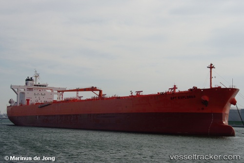
 NYXORA
Current Status
Where is the vessel?
NYXORA is currently in Near Ras Sudr, based on AIS data received about 1h ago.
Latest AIS update:
Current position: 29.72678° N, 32.59994° E (Near Ras Sudr)
Average speed (last 7 days): Loading…
Average speed (last 30 days): Loading…
Vessel profile: NYXORA is a Crude Oil Tanker with dimensions m x m.
This page combines live AIS, route history, probable destination signals, nearby traffic, and port activity for practical vessel monitoring.
The current position of vessel NYXORA is 29.72678 lat / 32.59994 lng. Updated: 2026-03-31 13:35:27 UTCNearest reference points:
- Near Al Adabiyah
- Near Ras Sudr
- Near Bur Ibrahim
Currently sailing under the flag of Marshall Islands ![]()
Details:
Live Vessel NYXORA Analytics (details, animations, etc.)
Recent AIS points (UTC):
2026-03-31 08:11:23 UTC · 29.72601, 32.59529 · SOG 0 kn · COG 91°2026-03-31 09:50:25 UTC · 29.72610, 32.59532 · SOG 0 kn · COG 95°
2026-03-31 11:20:28 UTC · 29.72541, 32.59551 · SOG 0 kn · COG 71°
2026-03-31 13:35:27 UTC · 29.72678, 32.59994 · SOG 0 kn · COG 255°