 vesseltracker.com
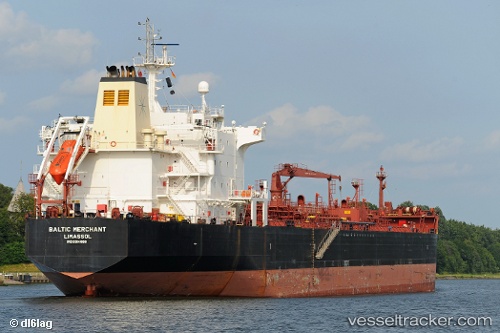
 ULUS
ULUS
Current Status
Where is the vessel?
ULUS is currently in 48 nm S of Leuca, based on AIS data received less than 1h ago.
Latest AIS update:
Current position: 39.00340° N, 18.17999° E (48 nm S of Leuca)
Average speed (last 7 days): Loading…
Average speed (last 30 days): Loading…
Vessel profile: ULUS is a Oil/Chemical Tanker with dimensions m x m.
This page combines live AIS, route history, probable destination signals, nearby traffic, and port activity for practical vessel monitoring.
The current position of vessel ULUS is 39.00340 lat / 18.17999 lng. Updated: 2026-04-03 11:40:12 UTCNearest reference points:
- 36 nm S of Leuca
- 20 nm S of Leuca
- 11 nm S of Leuca
Currently sailing under the flag of Panama ![]()
Details:
Live Vessel ULUS Analytics (details, animations, etc.)
Recent AIS points (UTC):
2026-04-03 05:42:06 UTC · 40.15608, 18.95913 · SOG 12.6 kn · COG 200°2026-04-03 07:55:48 UTC · 39.70288, 18.74596 · SOG 13.3 kn · COG 196°
2026-04-03 09:48:12 UTC · 39.34975, 18.46261 · SOG 13.3 kn · COG 212°
2026-04-03 11:40:12 UTC · 39.00340, 18.17999 · SOG 13.3 kn · COG 212°