 vesseltracker.com
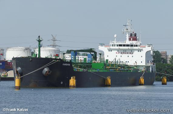
 SUMER
SUMER
Current Status
Where is the vessel?
SUMER is currently in Near Marmara Ereglisi, based on AIS data received less than 1h ago.
Latest AIS update:
Current position: 40.99264° N, 28.05942° E (Near Marmara Ereglisi)
Average speed (last 7 days): Loading…
Average speed (last 30 days): Loading…
Vessel profile: SUMER is a Oil/Chemical Tanker with dimensions m x m.
This page combines live AIS, route history, probable destination signals, nearby traffic, and port activity for practical vessel monitoring.
The current position of vessel SUMER is 40.99264 lat / 28.05942 lng. Updated: 2026-04-04 06:04:48 UTCNearest reference points:
- Near Saraylar
- Near Gürpinar
- 11 nm E of Erdek
Currently sailing under the flag of Turkey ![]()
Details:
Live Vessel SUMER Analytics (details, animations, etc.)
Recent AIS points (UTC):
2026-04-03 23:28:45 UTC · 40.99268, 28.06002 · SOG 0 kn · COG 56°2026-04-04 02:10:51 UTC · 40.99298, 28.05960 · SOG 0 kn · COG 76°
2026-04-04 03:34:47 UTC · 40.99267, 28.05973 · SOG 0 kn · COG 63°
2026-04-04 06:04:48 UTC · 40.99264, 28.05942 · SOG 0 kn · COG 67°