 vesseltracker.com
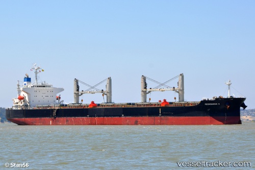
 MAC HOPE
Current Status
Where is the vessel?
MAC HOPE is currently in 29 nm W of Kao-Hsiung Kang, based on AIS data received about 1h ago.
Latest AIS update:
Current position: 22.52404° N, 119.75171° E (29 nm W of Kao-Hsiung Kang)
Average speed (last 7 days): Loading…
Average speed (last 30 days): Loading…
Vessel profile: MAC HOPE is a Bulk Carrier with dimensions m x m.
This page combines live AIS, route history, probable destination signals, nearby traffic, and port activity for practical vessel monitoring.
The current position of vessel MAC HOPE is 22.52404 lat / 119.75171 lng. Updated: 2026-04-20 01:49:49 UTCNearest reference points:
- 22 nm SW of Kaohsiung
- Near Tso-Ying
- Near YUNG AN
Currently sailing under the flag of Panama ![]()
Details:
Live Vessel MAC HOPE Analytics (details, animations, etc.)
Recent AIS points (UTC):
2026-04-19 22:53:13 UTC · 22.42142, 119.73240 · SOG 9.7 kn · COG 10°2026-04-19 23:58:03 UTC · 22.46945, 119.74098 · SOG 10 kn · COG 10°
2026-04-20 01:49:49 UTC · 22.52404, 119.75171 · SOG 10.2 kn · COG 8°
2026-04-20 01:49:49 UTC · 22.52404, 119.75171 · SOG 10.2 kn · COG 8°