 vesseltracker.com
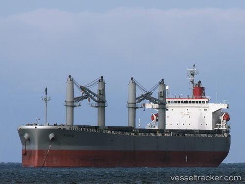
 JETOUR
Current Status
Where is the vessel?
JETOUR is currently in 18 nm E of Mombasa, based on AIS data received about 3h ago.
Latest AIS update:
Current position: 4.02564° S, 39.97998° E (18 nm E of Mombasa)
Average speed (last 7 days): Loading…
Average speed (last 30 days): Loading…
Vessel profile: JETOUR is a Bulk Carrier with dimensions 190m x 32m.
This page combines live AIS, route history, probable destination signals, nearby traffic, and port activity for practical vessel monitoring.
The current position of vessel JETOUR is -4.02564 lat / 39.97998 lng. Updated: 2026-03-27 05:35:31 UTCNearest reference points:
- 11 nm SE of Mombasa
- Near Mombasa
Currently sailing under the flag of Panama ![]()
JETOUR built in 2006 year
Deadweight:
54881 tDetails:
Live Vessel JETOUR Analytics (details, animations, etc.)
Recent AIS points (UTC):
2026-03-26 23:27:10 UTC · -4.18895, 39.86925 · SOG 8.4 kn · COG 209°2026-03-27 01:35:40 UTC · -4.16111, 39.89469 · SOG 2.3 kn · COG 153°
2026-03-27 03:35:51 UTC · -4.09472, 39.93798 · SOG 2.5 kn · COG 323°
2026-03-27 05:35:31 UTC · -4.02564, 39.97998 · SOG 2.4 kn · COG 75°