 vesseltracker.com
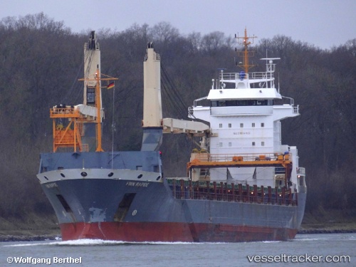
 LADY LUCIANA
Current Status
Where is the vessel?
LADY LUCIANA is currently in Near Port de Fort-de-France Pt., based on AIS data received less than 1h ago.
Latest AIS update:
Current position: 14.59408° N, 61.05436° W (Near Port de Fort-de-France Pt.)
Average speed (last 7 days): Loading…
Average speed (last 30 days): Loading…
Vessel profile: LADY LUCIANA is a General Cargo with dimensions m x m.
This page combines live AIS, route history, probable destination signals, nearby traffic, and port activity for practical vessel monitoring.
The current position of vessel LADY LUCIANA is 14.59408 lat / -61.05436 lng. Updated: 2026-04-09 04:07:51 UTCNearest reference points:
- Near Fort De France
- Near LE MARIN
- Near Gros Islet
Currently sailing under the flag of Panama ![]()
Details:
Live Vessel LADY LUCIANA Analytics (details, animations, etc.)
Recent AIS points (UTC):
2026-04-08 19:58:54 UTC · 14.59413, -61.05437 · SOG 0 kn · COG 248°2026-04-08 23:22:54 UTC · 14.59405, -61.05432 · SOG 0 kn · COG 248°
2026-04-09 02:28:51 UTC · 14.59412, -61.05432 · SOG 0 kn · COG 247°
2026-04-09 04:07:51 UTC · 14.59408, -61.05436 · SOG 0 kn · COG 249°