 vesseltracker.com
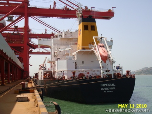
Navios Prosperity I
Current StatusWhere is the vessel?
Navios Prosperity I is currently in 384 nm N of Ramalde, based on AIS data received less than 1h ago.
Latest AIS update:
Current position: 34.77756° S, 9.12743° W (384 nm N of Ramalde)
Average speed (last 7 days): Loading…
Average speed (last 30 days): Loading…
Vessel profile: Navios Prosperity I is a Bulk Carrier with dimensions 32m x 225m.
This page combines live AIS, route history, probable destination signals, nearby traffic, and port activity for practical vessel monitoring.
The current position of vessel Navios Prosperity I is -34.77756 lat / -9.12743 lng. Updated: 2026-04-02 18:20:27 UTCNearest reference points:
- Open sea (no nearby ports in database)
- Open sea, approx. 403 nm off the nearest listed port
- Open sea, approx. 402 nm off the nearest listed port
Details:
Live Vessel Navios Prosperity I Analytics (details, animations, etc.)
Recent AIS points (UTC):
2026-04-02 11:27:00 UTC · -34.96191, -7.69176 · SOG 10.7 kn · COG 269°2026-04-02 13:26:05 UTC · -34.90881, -8.11079 · SOG 10.6 kn · COG 275°
2026-04-02 16:09:08 UTC · -34.83916, -8.67342 · SOG 10.2 kn · COG 275°
2026-04-02 18:20:27 UTC · -34.77756, -9.12743 · SOG 10.3 kn · COG 278°