 vesseltracker.com
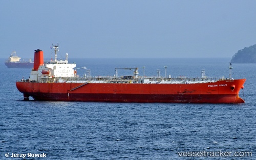
 OCEAN GAEA
Current Status
Where is the vessel?
OCEAN GAEA is currently in Near SUNGAI UDANG, based on AIS data received less than 1h ago.
Latest AIS update:
Current position: 2.27570° N, 102.01902° E (Near SUNGAI UDANG)
Average speed (last 7 days): Loading…
Average speed (last 30 days): Loading…
Vessel profile: OCEAN GAEA is a Chemical Tanker with dimensions m x m.
This page combines live AIS, route history, probable destination signals, nearby traffic, and port activity for practical vessel monitoring.
The current position of vessel OCEAN GAEA is 2.27570 lat / 102.01902 lng. Updated: 2026-03-30 19:22:20 UTCNearest reference points:
- Near SUNGAI UDANG
- 14 nm W of SUNGAI UDANG
- Near Malacca
Currently sailing under the flag of Bahamas ![]()
Details:
Live Vessel OCEAN GAEA Analytics (details, animations, etc.)
Recent AIS points (UTC):
2026-03-30 13:25:19 UTC · 2.27355, 102.02127 · SOG 0 kn · COG 327°2026-03-30 15:49:19 UTC · 2.27560, 102.01860 · SOG 0 kn · COG 123°
2026-03-30 17:49:19 UTC · 2.27570, 102.01862 · SOG 0 kn · COG 137°
2026-03-30 19:22:20 UTC · 2.27570, 102.01902 · SOG 0 kn · COG 117°