 vesseltracker.com
 SING
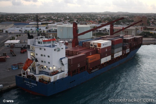
SING
Current Status
Where is the vessel?
SING is currently in 25 nm N of Maials, based on AIS data received less than 1h ago.
Latest AIS update:
Current position: 41.75167° N, 30.48167° E (25 nm N of Maials)
Average speed (last 7 days): Loading…
Average speed (last 30 days): Loading…
Vessel profile: SING is a Cargo with dimensions m x m.
This page combines live AIS, route history, probable destination signals, nearby traffic, and port activity for practical vessel monitoring.
The current position of vessel SING is 41.75167 lat / 30.48167 lng. Updated: 2026-03-30 13:33:37 UTCNearest reference points:
- Near Erdemir
- 45 nm N of RUMELI FENERI
- 19 nm NE of RUMELI FENERI
Currently sailing under the flag of Barbados ![]()
Details:
Live Vessel SING Analytics (details, animations, etc.)
Recent AIS points (UTC):
2026-03-30 07:50:28 UTC · 41.18143, 29.08259 · SOG 11.8 kn · COG 41°2026-03-30 09:22:59 UTC · 41.34539, 29.43114 · SOG 12.7 kn · COG 58°
2026-03-30 11:43:50 UTC · 41.56890, 30.02299 · SOG 12.5 kn · COG 53°
2026-03-30 13:33:37 UTC · 41.75167, 30.48167 · SOG 12 kn · COG -1°