 vesseltracker.com
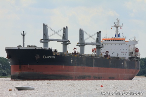
 Eleoussa
Current Status
Where is the vessel?
Eleoussa is currently in 19 nm N of Ain Taya, based on AIS data received about 4h ago.
Latest AIS update:
Current position: 37.10183° N, 3.25790° E (19 nm N of Ain Taya)
Average speed (last 7 days): Loading…
Average speed (last 30 days): Loading…
Vessel profile: Eleoussa is a Bulk Carrier with dimensions 190m x 190m.
This page combines live AIS, route history, probable destination signals, nearby traffic, and port activity for practical vessel monitoring.
The current position of vessel Eleoussa is 37.10183 lat / 3.25790 lng. Updated: 2026-04-10 07:24:55 UTCNearest reference points:
- 16 nm NE of Berja
- Near Algiers
- Near Zamoranos
Currently sailing under the flag of Malta ![]()
Eleoussa built in 2008 year
Deadweight:
56678 tDetails:
Live Vessel Eleoussa Analytics (details, animations, etc.)
Recent AIS points (UTC):
2026-04-10 02:26:20 UTC · 36.93953, 2.16965 · SOG 11.6 kn · COG 78°2026-04-10 03:47:01 UTC · 36.99070, 2.46976 · SOG 10.6 kn · COG -1°
2026-04-10 06:01:27 UTC · 37.05609, 2.95285 · SOG 10.7 kn · COG 82°
2026-04-10 07:24:55 UTC · 37.10183, 3.25790 · SOG 10.8 kn · COG 76°