 vesseltracker.com
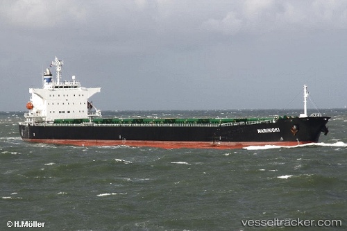
Marinicki
Current StatusWhere is the vessel?
Marinicki is currently in 254 nm NW of Malampaya, based on AIS data received less than 1h ago.
Latest AIS update:
Current position: 13.30148° N, 115.16308° E (254 nm NW of Malampaya)
Average speed (last 7 days): Loading…
Average speed (last 30 days): Loading…
Vessel profile: Marinicki is a Bulk Carrier with dimensions 32m x 225m.
This page combines live AIS, route history, probable destination signals, nearby traffic, and port activity for practical vessel monitoring.
The current position of vessel Marinicki is 13.30148 lat / 115.16308 lng. Updated: 2026-04-10 01:26:26 UTCNearest reference points:
- 237 nm W of Tindalo Oil Field
- 282 nm E of Tan Cang Qui Nhon
- 232 nm E of Tan Cang Qui Nhon
Details:
Live Vessel Marinicki Analytics (details, animations, etc.)
Recent AIS points (UTC):
2026-04-09 19:50:33 UTC · 13.70890, 114.27025 · SOG 10.3 kn · COG 114°2026-04-09 21:27:03 UTC · 13.59812, 114.52975 · SOG 10.3 kn · COG 115°
2026-04-10 00:03:13 UTC · 13.40392, 114.94630 · SOG 9.3 kn · COG 114°
2026-04-10 01:26:26 UTC · 13.30148, 115.16308 · SOG 10.3 kn · COG -1°