 vesseltracker.com
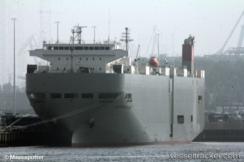
Eastern Highway
Current StatusWhere is the vessel?
Eastern Highway is currently in 35 nm NE of Warana, based on AIS data received about 1h ago.
Latest AIS update:
Current position: 26.12579° S, 153.74232° E (35 nm NE of Warana)
Average speed (last 7 days): Loading…
Average speed (last 30 days): Loading…
Vessel profile: Eastern Highway is a Vehicles Carrier with dimensions 28m x 188m.
This page combines live AIS, route history, probable destination signals, nearby traffic, and port activity for practical vessel monitoring.
The current position of vessel Eastern Highway is -26.12579 lat / 153.74232 lng. Updated: 2026-03-28 10:15:19 UTCNearest reference points:
- Near NOOSAVILLE
- Near Tin Can Bay
- Near MOOLOOLABA
Details:
Live Vessel Eastern Highway Analytics (details, animations, etc.)
Recent AIS points (UTC):
2026-03-28 03:43:42 UTC · -26.10375, 153.77612 · SOG 0.9 kn · COG 79°2026-03-28 05:51:39 UTC · -26.09773, 153.75941 · SOG 0.3 kn · COG 74°
2026-03-28 08:10:40 UTC · -26.10835, 153.74977 · SOG 0.7 kn · COG 71°
2026-03-28 10:15:19 UTC · -26.12579, 153.74232 · SOG 0.4 kn · COG 62°