 vesseltracker.com
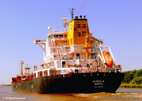
 SAMUDA
Current Status
Where is the vessel?
SAMUDA is currently in Near Dumai, based on AIS data received about 2h ago.
Latest AIS update:
Current position: 1.71353° N, 101.44662° E (Near Dumai)
Average speed (last 7 days): Loading…
Average speed (last 30 days): Loading…
Vessel profile: SAMUDA is a Oil/Chemical Tanker with dimensions m x m.
This page combines live AIS, route history, probable destination signals, nearby traffic, and port activity for practical vessel monitoring.
The current position of vessel SAMUDA is 1.71353 lat / 101.44662 lng. Updated: 2026-04-05 15:02:45 UTCNearest reference points:
- Near Dumai
- 14 nm W of SUNGAI UDANG
- 13 nm SW of PORT DICKSON
Currently sailing under the flag of Bangladesh ![]()
Details:
Live Vessel SAMUDA Analytics (details, animations, etc.)
Recent AIS points (UTC):
2026-04-05 09:08:46 UTC · 1.71341, 101.44396 · SOG 0.1 kn · COG 69°2026-04-05 10:56:45 UTC · 1.71255, 101.44633 · SOG 0.1 kn · COG 319°
2026-04-05 14:08:45 UTC · 1.71323, 101.44668 · SOG 0 kn · COG 278°
2026-04-05 15:02:45 UTC · 1.71353, 101.44662 · SOG 0.2 kn · COG 260°