 vesseltracker.com
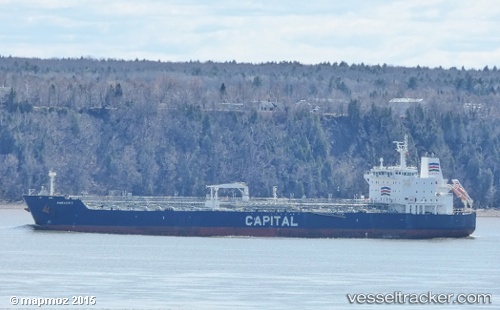
 DOLUNAY
Current Status
Where is the vessel?
DOLUNAY is currently in 11 nm SE of Primorsk, based on AIS data received less than 1h ago.
Latest AIS update:
Current position: 60.18472° N, 28.74686° E (11 nm SE of Primorsk)
Average speed (last 7 days): Loading…
Average speed (last 30 days): Loading…
Vessel profile: DOLUNAY is a Oil/Chemical Tanker with dimensions m x m.
This page combines live AIS, route history, probable destination signals, nearby traffic, and port activity for practical vessel monitoring.
The current position of vessel DOLUNAY is 60.18472 lat / 28.74686 lng. Updated: 2026-04-04 07:34:32 UTCNearest reference points:
- 10 nm SE of Primorsk
- Near Primorsk
- 11 nm NE of VISTINO
Currently sailing under the flag of Palau ![]()
Details:
Live Vessel DOLUNAY Analytics (details, animations, etc.)
Recent AIS points (UTC):
2026-04-03 23:39:49 UTC · 60.12976, 28.20189 · SOG 4.7 kn · COG 105°2026-04-03 23:39:49 UTC · 60.12976, 28.20189 · SOG 4.7 kn · COG 105°
2026-04-03 23:39:49 UTC · 60.12976, 28.20189 · SOG 4.7 kn · COG 105°
2026-04-04 07:34:32 UTC · 60.18472, 28.74686 · SOG 0 kn · COG 275°