 vesseltracker.com
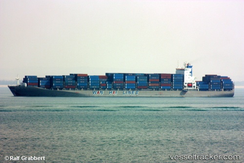
 LONG BEACH TRADER
Current Status
Where is the vessel?
LONG BEACH TRADER is currently in 382 nm W of Henties Bay (Hentiesbaai), based on AIS data received less than 1h ago.
Latest AIS update:
Current position: 21.82362° S, 7.43342° E (382 nm W of Henties Bay (Hentiesbaai))
Average speed (last 7 days): Loading…
Average speed (last 30 days): Loading…
Vessel profile: LONG BEACH TRADER is a Container Ship with dimensions 277m x 40m.
This page combines live AIS, route history, probable destination signals, nearby traffic, and port activity for practical vessel monitoring.
The current position of vessel LONG BEACH TRADER is -21.82362 lat / 7.43342 lng. Updated: 2026-04-07 21:56:29 UTCNearest reference points:
- Open sea, approx. 410 nm off the nearest listed port
- Open sea, approx. 403 nm off the nearest listed port
- Open sea, approx. 402 nm off the nearest listed port
Currently sailing under the flag of Liberia ![]()
LONG BEACH TRADER built in 2007 year
Deadweight:
67797 tDetails:
Live Vessel LONG BEACH TRADER Analytics (details, animations, etc.)
Recent AIS points (UTC):
2026-04-07 16:26:11 UTC · -22.99735, 8.39445 · SOG 15.7 kn · COG 319°2026-04-07 17:53:59 UTC · -22.68515, 8.13873 · SOG 15.9 kn · COG 322°
2026-04-07 19:59:18 UTC · -22.24160, 7.77405 · SOG 16 kn · COG 324°
2026-04-07 21:56:29 UTC · -21.82362, 7.43342 · SOG 15.9 kn · COG 323°