 vesseltracker.com
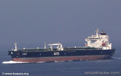
 Al Salam Ii
Current Status
Where is the vessel?
Al Salam Ii is currently in 11 nm NW of Free Port, based on AIS data received about 2h ago.
Latest AIS update:
Current position: 25.34518° N, 55.08052° E (11 nm NW of Free Port)
Average speed (last 7 days): Loading…
Average speed (last 30 days): Loading…
Vessel profile: Al Salam Ii is a Oil Products Tanker with dimensions 228m x 228m.
This page combines live AIS, route history, probable destination signals, nearby traffic, and port activity for practical vessel monitoring.
The current position of vessel Al Salam Ii is 25.34518 lat / 55.08052 lng. Updated: 2026-03-28 12:23:43 UTCNearest reference points:
- Near Free Port
- 17 nm NW of Free Port
- Near DUBAI
Currently sailing under the flag of Kuwait ![]()
Details:
Live Vessel Al Salam Ii Analytics (details, animations, etc.)
Recent AIS points (UTC):
2026-03-28 07:35:48 UTC · 25.34562, 55.08050 · SOG 0 kn · COG 274°2026-03-28 10:02:33 UTC · 25.34602, 55.08105 · SOG 0.2 kn · COG -1°
2026-03-28 12:02:19 UTC · 25.34520, 55.08051 · SOG 0 kn · COG -1°
2026-03-28 12:23:43 UTC · 25.34518, 55.08052 · SOG 0.1 kn · COG -1°