 vesseltracker.com
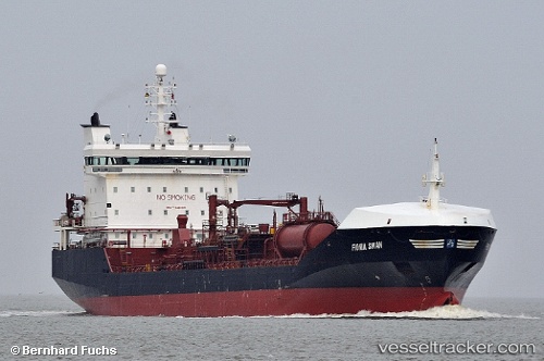
 NISI
NISI
Current Status
Where is the vessel?
NISI is currently in Near Port Bolivar, based on AIS data received about 1h ago.
Latest AIS update:
Current position: 29.31819° N, 94.58469° W (Near Port Bolivar)
Average speed (last 7 days): Loading…
Average speed (last 30 days): Loading…
Vessel profile: NISI is a Oil/Chemical Tanker with dimensions m x m.
This page combines live AIS, route history, probable destination signals, nearby traffic, and port activity for practical vessel monitoring.
The current position of vessel NISI is 29.31819 lat / -94.58469 lng. Updated: 2026-04-08 05:30:00 UTCNearest reference points:
- 12 nm SE of Port Bolivar
- Near Port Bolivar
- Near Texas City
Currently sailing under the flag of Cyprus ![]()
Details:
Live Vessel NISI Analytics (details, animations, etc.)
Recent AIS points (UTC):
2026-04-07 23:32:36 UTC · 29.57923, -94.93067 · SOG 11.8 kn · COG 142°2026-04-08 02:28:37 UTC · 29.31885, -94.58499 · SOG 0.1 kn · COG 81°
2026-04-08 03:31:57 UTC · 29.31873, -94.58498 · SOG 0.4 kn · COG -1°
2026-04-08 05:30:00 UTC · 29.31819, -94.58469 · SOG 0.2 kn · COG 55°