 vesseltracker.com
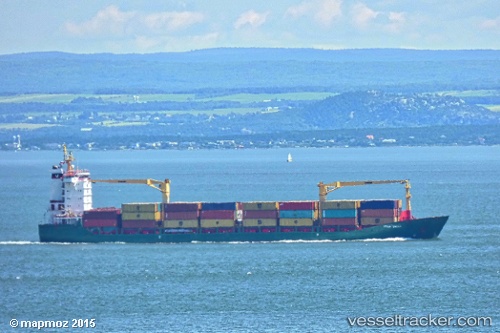
Ilios
Current StatusWhere is the vessel?
Ilios is currently in 11 nm NW of Batumi, based on AIS data received about 1h ago.
Latest AIS update:
Current position: 41.74655° N, 41.45007° E (11 nm NW of Batumi)
Average speed (last 7 days): Loading…
Average speed (last 30 days): Loading…
Vessel profile: Ilios is a Container Ship with dimensions 23m x 148m.
This page combines live AIS, route history, probable destination signals, nearby traffic, and port activity for practical vessel monitoring.
The current position of vessel Ilios is 41.74655 lat / 41.45007 lng. Updated: 2026-03-26 15:28:06 UTCNearest reference points:
- Near Batumi
- Near Sup'sa
- Near Hopa
Details:
Live Vessel Ilios Analytics (details, animations, etc.)
Recent AIS points (UTC):
2026-03-26 09:38:24 UTC · 41.64940, 41.65578 · SOG 0 kn · COG 154°2026-03-26 11:38:24 UTC · 41.64941, 41.65581 · SOG 0 kn · COG 154°
2026-03-26 13:26:47 UTC · 41.64942, 41.65576 · SOG 0 kn · COG 154°
2026-03-26 15:28:06 UTC · 41.74655, 41.45007 · SOG 14.4 kn · COG 282°