 vesseltracker.com
 TULIP
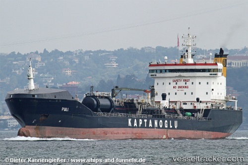
TULIP
Current Status
Where is the vessel?
TULIP is currently in Near Pointe aux Sables, based on AIS data received about 3h ago.
Latest AIS update:
Current position: 20.15594° S, 57.43457° E (Near Pointe aux Sables)
Average speed (last 7 days): Loading…
Average speed (last 30 days): Loading…
Vessel profile: TULIP is a Oil/Chemical Tanker with dimensions m x m.
This page combines live AIS, route history, probable destination signals, nearby traffic, and port activity for practical vessel monitoring.
The current position of vessel TULIP is -20.15594 lat / 57.43457 lng. Updated: 2026-03-26 23:42:57 UTCNearest reference points:
- Near Port Louis
- 164 nm NW of Pointe aux Canonniers
Currently sailing under the flag of Liberia ![]()
Details:
Live Vessel TULIP Analytics (details, animations, etc.)
Recent AIS points (UTC):
2026-03-26 18:01:24 UTC · -20.15666, 57.43543 · SOG 0.1 kn · COG -1°2026-03-26 19:51:42 UTC · -20.15661, 57.43504 · SOG 0.1 kn · COG -1°
2026-03-26 22:18:56 UTC · -20.15642, 57.43476 · SOG 0 kn · COG 67°
2026-03-26 23:42:57 UTC · -20.15594, 57.43457 · SOG 0.1 kn · COG 82°