 vesseltracker.com
 AYA
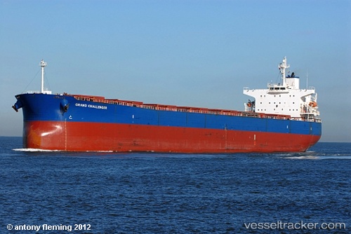
AYA
Current Status
Where is the vessel?
AYA is currently in Near Abu Musa, based on AIS data received less than 1h ago.
Latest AIS update:
Current position: 25.96833° N, 55.13500° E (Near Abu Musa)
Average speed (last 7 days): Loading…
Average speed (last 30 days): Loading…
Vessel profile: AYA is a Bulk Carrier with dimensions m x m.
This page combines live AIS, route history, probable destination signals, nearby traffic, and port activity for practical vessel monitoring.
The current position of vessel AYA is 25.96833 lat / 55.13500 lng. Updated: 2026-04-01 06:02:22 UTCNearest reference points:
- Near Sharjah
- Near AJMAN
- 17 nm NW of Free Port
Currently sailing under the flag of Malta ![]()
Details:
Live Vessel AYA Analytics (details, animations, etc.)
Recent AIS points (UTC):
2026-04-01 00:10:01 UTC · 25.97199, 55.10578 · SOG 1.2 kn · COG -1°2026-04-01 01:36:42 UTC · 25.95206, 55.10603 · SOG 1.1 kn · COG -1°
2026-04-01 03:52:34 UTC · 25.90102, 55.12967 · SOG 1.3 kn · COG 220°
2026-04-01 06:02:22 UTC · 25.96833, 55.13500 · SOG 5 kn · COG -1°