 vesseltracker.com
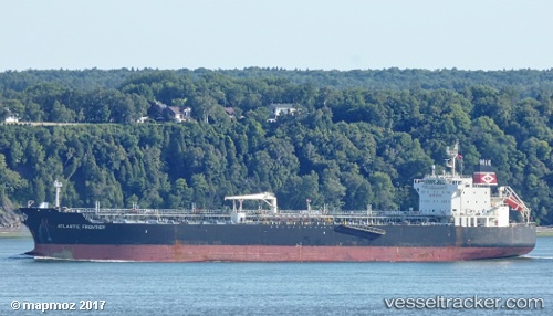
 LILA MIAMI
Current Status
Where is the vessel?
LILA MIAMI is currently in Near Bozhong, based on AIS data received about 1h ago.
Latest AIS update:
Current position: 38.50533° N, 118.46115° E (Near Bozhong)
Average speed (last 7 days): Loading…
Average speed (last 30 days): Loading…
Vessel profile: LILA MIAMI is a Oil/Chemical Tanker with dimensions m x m.
This page combines live AIS, route history, probable destination signals, nearby traffic, and port activity for practical vessel monitoring.
The current position of vessel LILA MIAMI is 38.50533 lat / 118.46115 lng. Updated: 2026-04-07 23:32:27 UTCNearest reference points:
- 15 nm SE of Taku Bar
- 12 nm W of Bozhong
- 13 nm NE of HUANGHUA
Currently sailing under the flag of Liberia ![]()
Details:
Live Vessel LILA MIAMI Analytics (details, animations, etc.)
Recent AIS points (UTC):
2026-04-07 18:07:24 UTC · 38.50509, 118.45779 · SOG 0 kn · COG 123°2026-04-07 20:09:59 UTC · 38.50468, 118.45764 · SOG 0 kn · COG -1°
2026-04-07 22:00:09 UTC · 38.50575, 118.45889 · SOG 0.2 kn · COG -1°
2026-04-07 23:32:27 UTC · 38.50533, 118.46115 · SOG 0 kn · COG 236°