 vesseltracker.com
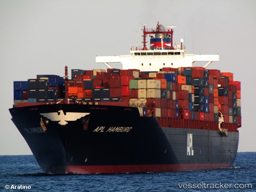
 BF HAMBURG
Current Status
Where is the vessel?
BF HAMBURG is currently in 38 nm NW of Town Quays/Drogheda, based on AIS data received about 1h ago.
Latest AIS update:
Current position: 54.12500° N, 5.52333° E (38 nm NW of Town Quays/Drogheda)
Average speed (last 7 days): Loading…
Average speed (last 30 days): Loading…
Vessel profile: BF HAMBURG is a Container Ship with dimensions m x m.
This page combines live AIS, route history, probable destination signals, nearby traffic, and port activity for practical vessel monitoring.
The current position of vessel BF HAMBURG is 54.12500 lat / 5.52333 lng. Updated: 2026-03-30 17:57:59 UTCNearest reference points:
- 14 nm NW of Town Quays/Drogheda
- Near FRANEKER
- Near HARLINGEN
Currently sailing under the flag of Liberia ![]()
Details:
Live Vessel BF HAMBURG Analytics (details, animations, etc.)
Recent AIS points (UTC):
2026-03-30 12:15:59 UTC · 54.28785, 7.33228 · SOG 0.3 kn · COG 252°2026-03-30 13:50:59 UTC · 54.22090, 7.10995 · SOG 10.5 kn · COG 250°
2026-03-30 15:31:01 UTC · 54.19612, 6.50237 · SOG 13.6 kn · COG 269°
2026-03-30 17:57:59 UTC · 54.12500, 5.52333 · SOG 13 kn · COG -1°