 vesseltracker.com
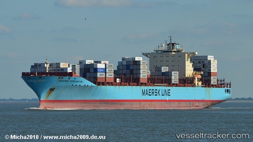
Maersk Kensington
Current StatusWhere is the vessel?
Maersk Kensington is currently in Near FORT HANCOCK, based on AIS data received about 1h ago.
Latest AIS update:
Current position: 40.49134° N, 73.92437° W (Near FORT HANCOCK)
Average speed (last 7 days): Loading…
Average speed (last 30 days): Loading…
Vessel profile: Maersk Kensington is a Container Ship with dimensions 40m x 299m.
This page combines live AIS, route history, probable destination signals, nearby traffic, and port activity for practical vessel monitoring.
The current position of vessel Maersk Kensington is 40.49134 lat / -73.92437 lng. Updated: 2026-04-03 03:41:55 UTCNearest reference points:
- Near FORT HANCOCK
- Near Brooklyn
- Near Tompkinsville
Details:
Live Vessel Maersk Kensington Analytics (details, animations, etc.)
Recent AIS points (UTC):
2026-04-02 22:09:26 UTC · 39.32667, -73.83167 · SOG 19 kn · COG -1°2026-04-02 23:45:39 UTC · 39.81167, -73.69667 · SOG 19 kn · COG -1°
2026-04-03 01:38:25 UTC · 40.24694, -73.76050 · SOG 8.5 kn · COG 2°
2026-04-03 03:41:55 UTC · 40.49134, -73.92437 · SOG 13.2 kn · COG 299°