 vesseltracker.com
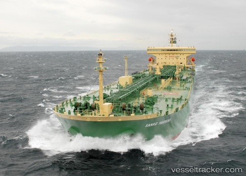
 BLUE TALU
Current Status
Where is the vessel?
BLUE TALU is currently in 36 nm S of Reinhardtsdorf-Schöna, based on AIS data received about 1d ago.
Latest AIS update:
Current position: 13.62640° N, 50.71488° E (36 nm S of Reinhardtsdorf-Schöna)
Average speed (last 7 days): Loading…
Average speed (last 30 days): Loading…
Vessel profile: BLUE TALU is a Oil Products Tanker with dimensions m x m.
This page combines live AIS, route history, probable destination signals, nearby traffic, and port activity for practical vessel monitoring.
The current position of vessel BLUE TALU is 13.62640 lat / 50.71488 lng. Updated: 2026-04-10 06:59:29 UTCCurrently sailing under the flag of Cameroon ![]()
Details:
Live Vessel BLUE TALU Analytics (details, animations, etc.)
Recent AIS points (UTC):
2026-04-10 02:09:21 UTC · 13.31180, 49.71798 · SOG 12.6 kn · COG 74°2026-04-10 03:45:11 UTC · 13.40868, 50.05067 · SOG 12.6 kn · COG 80°
2026-04-10 05:35:28 UTC · 13.53530, 50.42893 · SOG 12.6 kn · COG 79°
2026-04-10 06:59:29 UTC · 13.62640, 50.71488 · SOG 12.7 kn · COG 87°