 vesseltracker.com
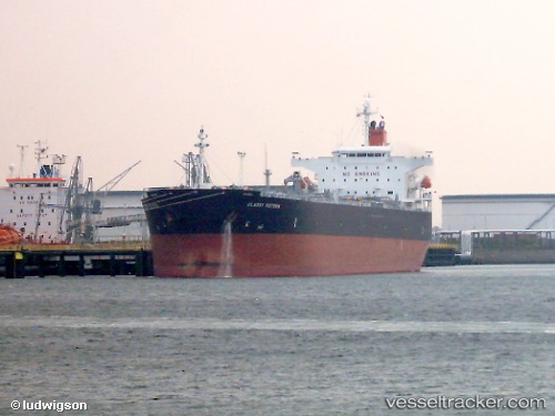
 URIEL
URIEL
Current Status
Where is the vessel?
URIEL is currently in 148 nm E of Regência Terminal/Linhares, based on AIS data received about 1h ago.
Latest AIS update:
Current position: 20.21433° S, 37.27495° W (148 nm E of Regência Terminal/Linhares)
Average speed (last 7 days): Loading…
Average speed (last 30 days): Loading…
Vessel profile: URIEL is a Oil Products Tanker with dimensions m x m.
This page combines live AIS, route history, probable destination signals, nearby traffic, and port activity for practical vessel monitoring.
The current position of vessel URIEL is -20.21433 lat / -37.27495 lng. Updated: 2026-04-08 16:00:51 UTCNearest reference points:
- 91 nm E of Conceicao da Barra
- 66 nm NE of Espírito Santo FPSO
- 68 nm SE of Espírito Santo FPSO
Currently sailing under the flag of Sierra Leone ![]()
Details:
Live Vessel URIEL Analytics (details, animations, etc.)
Recent AIS points (UTC):
2026-04-08 10:20:41 UTC · -21.27097, -38.00142 · SOG 13.7 kn · COG 37°2026-04-08 11:36:39 UTC · -21.04425, -37.81610 · SOG 13.4 kn · COG 37°
2026-04-08 13:33:53 UTC · -20.69397, -37.54510 · SOG 13.4 kn · COG 36°
2026-04-08 16:00:51 UTC · -20.21433, -37.27495 · SOG 13.9 kn · COG 14°