 vesseltracker.com
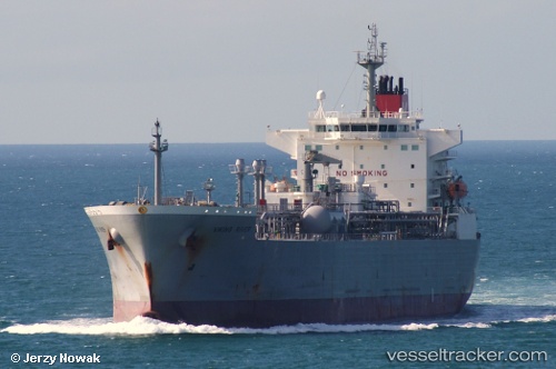
 GREEN ONE
Current Status
Where is the vessel?
GREEN ONE is currently in 16 nm S of Abu Musa, based on AIS data received about 12h ago.
Latest AIS update:
Current position: 25.61712° N, 54.94095° E (16 nm S of Abu Musa)
Average speed (last 7 days): Loading…
Average speed (last 30 days): Loading…
Vessel profile: GREEN ONE is a Lpg Tanker with dimensions m x m.
This page combines live AIS, route history, probable destination signals, nearby traffic, and port activity for practical vessel monitoring.
The current position of vessel GREEN ONE is 25.61712 lat / 54.94095 lng. Updated: 2026-03-28 22:25:05 UTCNearest reference points:
- 17 nm NW of Free Port
- Near Free Port
- Near Sharjah
Currently sailing under the flag of South Korea ![]()
Details:
Live Vessel GREEN ONE Analytics (details, animations, etc.)
Recent AIS points (UTC):
2026-03-28 21:51:57 UTC · 25.67252, 55.07145 · SOG 0 kn · COG -1°2026-03-28 22:25:05 UTC · 25.61712, 54.94095 · SOG 0 kn · COG -1°
2026-03-28 22:25:05 UTC · 25.61712, 54.94095 · SOG 0 kn · COG -1°
2026-03-28 22:25:05 UTC · 25.61712, 54.94095 · SOG 0 kn · COG -1°