 vesseltracker.com
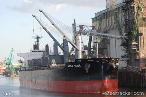
 SAFINAH
Current Status
Where is the vessel?
SAFINAH is currently in 16 nm SE of Pennington Terminal, based on AIS data received less than 1h ago.
Latest AIS update:
Current position: 4.00688° N, 5.74048° E (16 nm SE of Pennington Terminal)
Average speed (last 7 days): Loading…
Average speed (last 30 days): Loading…
Vessel profile: SAFINAH is a Bulk Carrier with dimensions m x m.
This page combines live AIS, route history, probable destination signals, nearby traffic, and port activity for practical vessel monitoring.
The current position of vessel SAFINAH is 4.00688 lat / 5.74048 lng. Updated: 2026-04-12 19:51:16 UTCNearest reference points:
- 12 nm N of Okwori
- 21 nm SW of Bonny
- Near Port Harcourt
Currently sailing under the flag of Bangladesh ![]()
Details:
Live Vessel SAFINAH Analytics (details, animations, etc.)
Recent AIS points (UTC):
2026-04-12 13:27:33 UTC · 4.12980, 6.87395 · SOG 10.9 kn · COG 250°2026-04-12 15:32:17 UTC · 4.01465, 6.53288 · SOG 11 kn · COG 253°
2026-04-12 17:44:24 UTC · 3.98337, 6.12990 · SOG 11.2 kn · COG 268°
2026-04-12 19:51:16 UTC · 4.00688, 5.74048 · SOG 11.1 kn · COG 272°