 vesseltracker.com
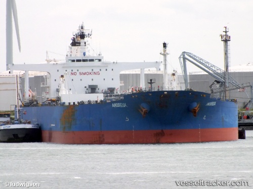
 CRONUS
Current Status
Where is the vessel?
CRONUS is currently in Near MOOLOOLABA, based on AIS data received less than 1h ago.
Latest AIS update:
Current position: 26.73200° S, 153.26894° E (Near MOOLOOLABA)
Average speed (last 7 days): Loading…
Average speed (last 30 days): Loading…
Vessel profile: CRONUS is a Crude Oil Tanker with dimensions m x m.
This page combines live AIS, route history, probable destination signals, nearby traffic, and port activity for practical vessel monitoring.
The current position of vessel CRONUS is -26.73200 lat / 153.26894 lng. Updated: 2026-03-31 03:56:34 UTCNearest reference points:
- Near Minyama
- Near MOOLOOLABA
- Near NOOSAVILLE
Currently sailing under the flag of Marshall Islands ![]()
Details:
Live Vessel CRONUS Analytics (details, animations, etc.)
Recent AIS points (UTC):
2026-03-30 21:35:30 UTC · -26.73173, 153.26974 · SOG 0.6 kn · COG 184°2026-03-30 23:26:56 UTC · -26.73194, 153.26895 · SOG 0.3 kn · COG 142°
2026-03-31 02:11:30 UTC · -26.73186, 153.26895 · SOG 0.2 kn · COG 145°
2026-03-31 03:56:34 UTC · -26.73200, 153.26894 · SOG 0.1 kn · COG 145°