 vesseltracker.com
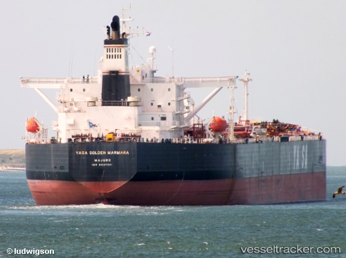
 OCEANID
Current Status
Where is the vessel?
OCEANID is currently in 33 nm S of Vrangel', based on AIS data received about 1h ago.
Latest AIS update:
Current position: 42.18178° N, 133.24286° E (33 nm S of Vrangel')
Average speed (last 7 days): Loading…
Average speed (last 30 days): Loading…
Vessel profile: OCEANID is a Crude Oil Tanker with dimensions m x m.
This page combines live AIS, route history, probable destination signals, nearby traffic, and port activity for practical vessel monitoring.
The current position of vessel OCEANID is 42.18178 lat / 133.24286 lng. Updated: 2026-04-19 16:12:45 UTCNearest reference points:
- 35 nm S of Vrangel'
- 29 nm SE of Vrangel'
- 46 nm SE of Vrangel'
Currently sailing under the flag of Panama ![]()
Details:
Live Vessel OCEANID Analytics (details, animations, etc.)
Recent AIS points (UTC):
2026-04-19 12:58:00 UTC · 42.13844, 133.18980 · SOG 1.1 kn · COG 70°2026-04-19 13:32:39 UTC · 42.14500, 133.19833 · SOG 0 kn · COG -1°
2026-04-19 15:29:13 UTC · 42.17226, 133.23129 · SOG 1 kn · COG 60°
2026-04-19 16:12:45 UTC · 42.18178, 133.24286 · SOG 1 kn · COG 43°