 vesseltracker.com
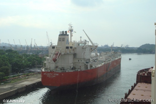
 ATLANTIS AMSTERDAM
Current Status
Where is the vessel?
ATLANTIS AMSTERDAM is currently in 67 nm E of Inhassoro, based on AIS data received about 12h ago.
Latest AIS update:
Current position: 21.57874° S, 36.39773° E (67 nm E of Inhassoro)
Average speed (last 7 days): Loading…
Average speed (last 30 days): Loading…
Vessel profile: ATLANTIS AMSTERDAM is a Oil/Chemical Tanker with dimensions m x m.
This page combines live AIS, route history, probable destination signals, nearby traffic, and port activity for practical vessel monitoring.
The current position of vessel ATLANTIS AMSTERDAM is -21.57874 lat / 36.39773 lng. Updated: 2026-04-10 07:15:12 UTCNearest reference points:
- 24 nm SE of Beira
- 21 nm SE of Beira
- 14 nm E of Beira
Currently sailing under the flag of Marshall Islands ![]()
Details:
Live Vessel ATLANTIS AMSTERDAM Analytics (details, animations, etc.)
Recent AIS points (UTC):
2026-04-10 02:14:11 UTC · -20.61833, 36.04167 · SOG 11 kn · COG -1°2026-04-10 04:03:01 UTC · -20.95339, 36.18057 · SOG 11.8 kn · COG 159°
2026-04-10 05:29:57 UTC · -21.22968, 36.29672 · SOG 12.5 kn · COG 164°
2026-04-10 07:15:12 UTC · -21.57874, 36.39773 · SOG 12.6 kn · COG 181°