 vesseltracker.com
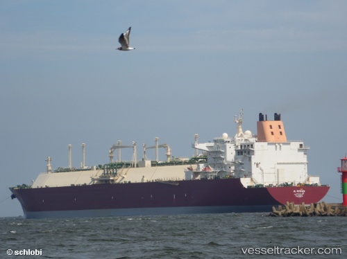
Al Ruwais
Current StatusWhere is the vessel?
Al Ruwais is currently in 178 nm NW of Pointe aux Canonniers, based on AIS data received less than 1h ago.
Latest AIS update:
Current position: 17.68289° S, 55.58589° E (178 nm NW of Pointe aux Canonniers)
Average speed (last 7 days): Loading…
Average speed (last 30 days): Loading…
Vessel profile: Al Ruwais is a Lng Tanker with dimensions 50m x 315m.
This page combines live AIS, route history, probable destination signals, nearby traffic, and port activity for practical vessel monitoring.
The current position of vessel Al Ruwais is -17.68289 lat / 55.58589 lng. Updated: 2026-04-10 03:54:07 UTCNearest reference points:
- 164 nm NW of Pointe aux Canonniers
- Near Port Louis
Details:
Live Vessel Al Ruwais Analytics (details, animations, etc.)
Recent AIS points (UTC):
2026-04-09 22:06:30 UTC · -17.72958, 55.78056 · SOG 2.3 kn · COG 28°2026-04-09 23:34:28 UTC · -17.71726, 55.72695 · SOG 2 kn · COG 29°
2026-04-10 02:31:18 UTC · -17.69379, 55.63168 · SOG 2 kn · COG 40°
2026-04-10 03:54:07 UTC · -17.68289, 55.58589 · SOG 1.8 kn · COG 38°