 vesseltracker.com
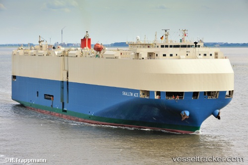
 SWALLOW ACE
Current Status
Where is the vessel?
SWALLOW ACE is currently in 13 nm W of Cape Cornwall, based on AIS data received less than 1h ago.
Latest AIS update:
Current position: 50.15097° N, 6.03350° W (13 nm W of Cape Cornwall)
Average speed (last 7 days): Loading…
Average speed (last 30 days): Loading…
Vessel profile: SWALLOW ACE is a Vehicles Carrier with dimensions m x m.
This page combines live AIS, route history, probable destination signals, nearby traffic, and port activity for practical vessel monitoring.
The current position of vessel SWALLOW ACE is 50.15097 lat / -6.03350 lng. Updated: 2026-03-30 12:09:31 UTCNearest reference points:
- Near Isles of Scilly
- 10 nm NW of Grampound
- 28 nm S of Porthgwarra
Currently sailing under the flag of Japan ![]()
Details:
Live Vessel SWALLOW ACE Analytics (details, animations, etc.)
Recent AIS points (UTC):
2026-03-30 06:12:32 UTC · 51.29208, -4.10592 · SOG 19.2 kn · COG 261°2026-03-30 08:16:44 UTC · 50.95236, -4.95047 · SOG 17.6 kn · COG 234°
2026-03-30 09:37:44 UTC · 50.69826, -5.42527 · SOG 17.4 kn · COG 234°
2026-03-30 12:09:31 UTC · 50.15097, -6.03350 · SOG 16.7 kn · COG 183°